Looking around up here became easier, and for some, reassuring, when HVO staff installed another webcam. The latest, viewable at
allows us to check in (sometimes too frequently) to see what Pele is doing. Images are captured, as far as I can tell, every 10 minutes.


Above, [ʻili] refers to the surface of the loko ahi, much as ʻilikai is the surface of the sea, or ʻili hau is the "skin" or bark of hau (Hibiscus tiliaceus), a Polynesian introduction to Hawaiʻi. Fiber layers under the bark, when processed, is a favorite cordage for stringing pua kou, tying, wrapping, etc. Easy and fun to fashion. And free. No need buy raffia!

The evolution of the loko ahi, and the lana au-ing (drifting) of moku (islands) is vividly demonstrated below, posted on the HVO Maps link:

This compilation shows nine thermal maps created for the ongoing eruption in Halema‘uma‘u, at the summit of Kīlauea, which began on December 20, 2020. The maps show the rapid emplacement and growth of the lake in the initial days, followed by a switch in the dominant vent from the north fissure to the west fissure on December 26. The main island shifts and rotates, presumably controlled by the lake currents. The last two maps (Jan 7 and 12) shows the stagnation and cooling of the eastern half of the lake surface. The color range shows the relative temperatures across the lake, with blue colors indicative of cooler temperatures and red colors indicative of warmer temperatures. USGS maps by M. Patrick.
More awesome info from HVO Staff! Mahalo piha!
The UPDATE:

And up/down/up Tilting:

Note please, again, that scale matters. Top = Two Days, and Tenths of Microradians. Up close and short term looks concerning and a bit scary, but stepping back should be reassuring:

Of what, Iʻm not sure anyone knows. This is RightNow info. No one can say whatʻll happen...
But as far as the cool heights of Keaʻau ma uka, and Volcano, itʻs camellia time. For certain. GoLook. This, an old-fashioned single bloom, from a friends yard:
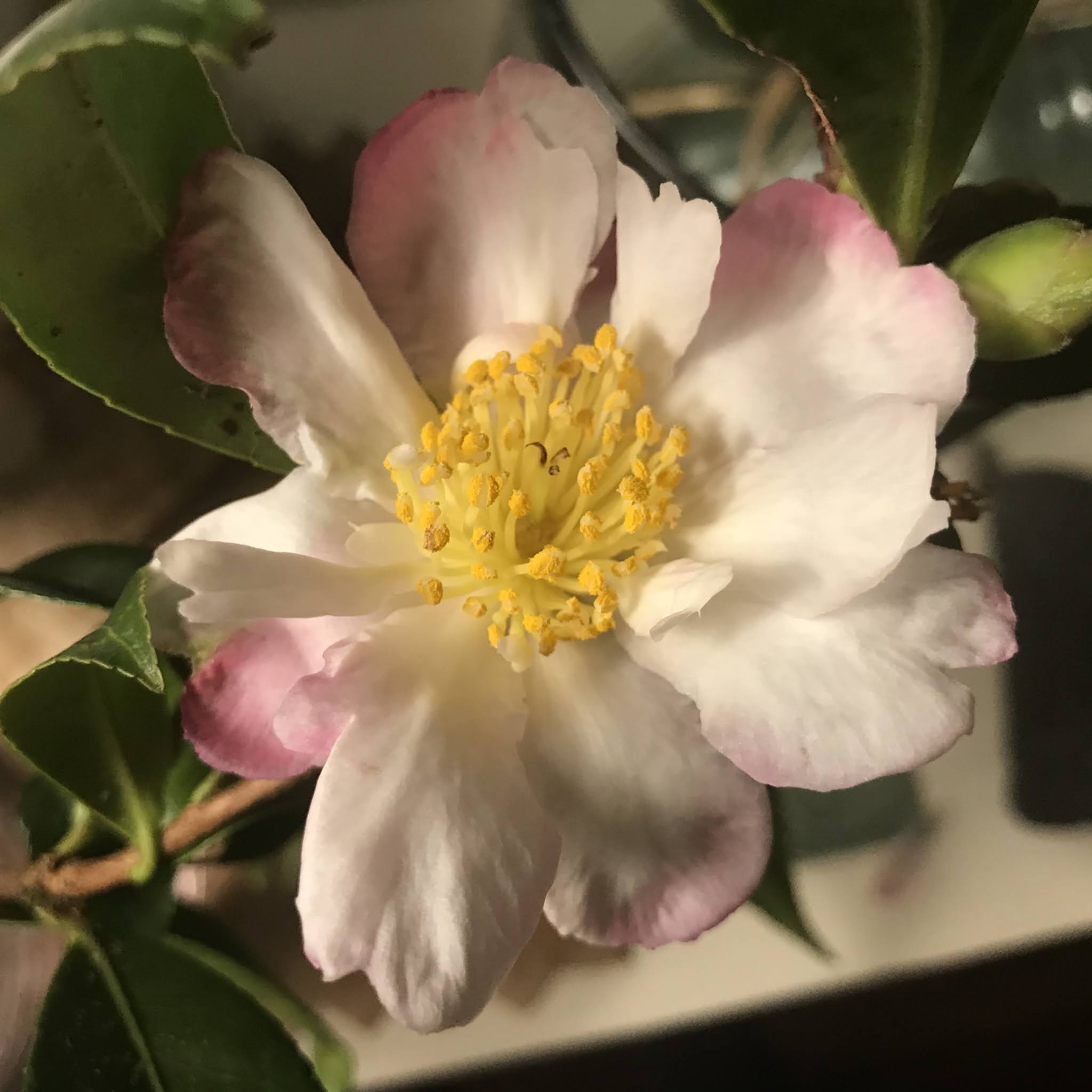
so nani...
Time to take advantage of the fine day and lala...bask in the sun, and acquire vitamin D.
Be well. Wear Mask, No Gather, Wash Hands, etc...
As always, with aloha,
BobbyC
maniniowali@gmail.com
No comments:
Post a Comment